BREAKING NEWS
Heavy rain, snow, thundershowers and hail storm would occur on Thursday, Friday: MET
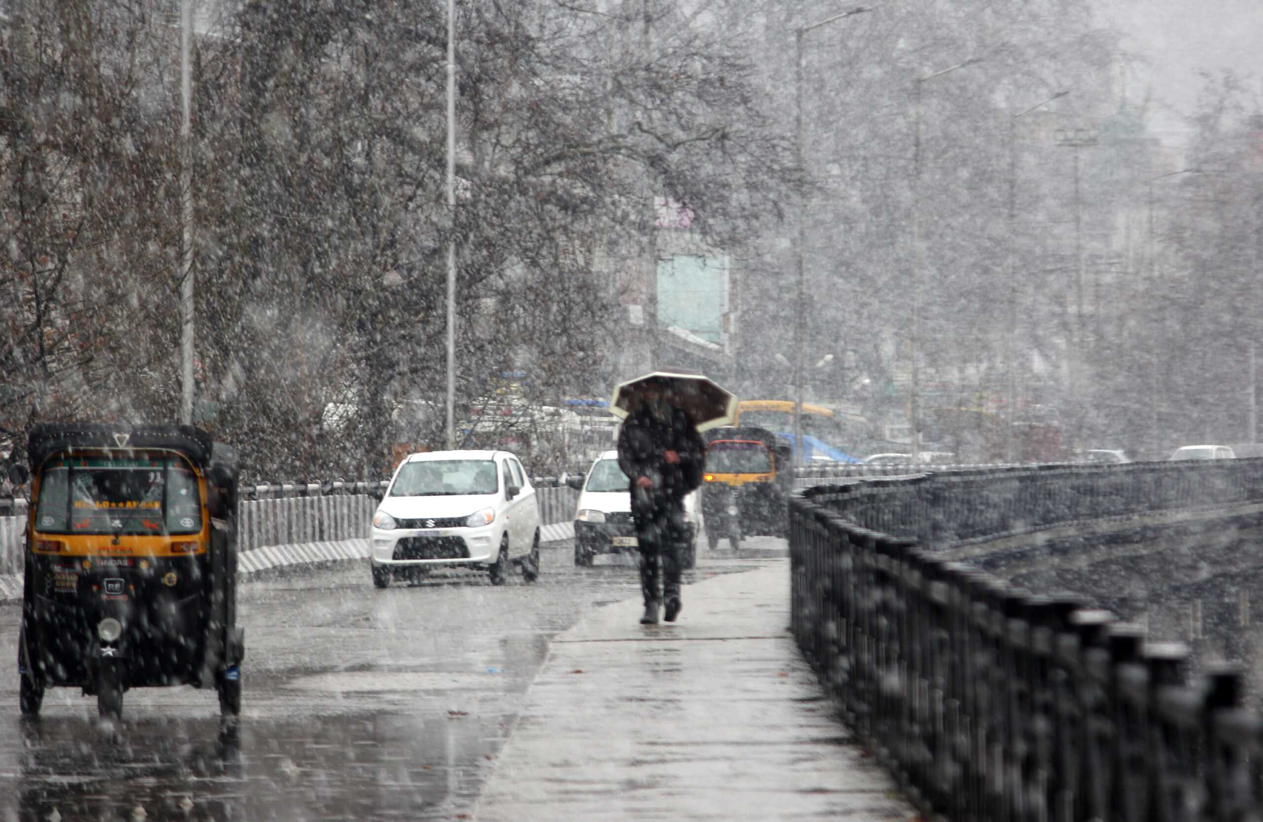
Weather woes will continue throughout this week as a fresh Western Disturbance (WD) is expected to hit the region on Wednesday in the summer capital, Srinagar, and other parts of Kashmir valley, which received light to moderate snow in the upper reaches and rain in plains during the last 48 hours.
Meanwhile, the chilly weather conditions continued for the second successive day on Tuesday in the valley, where the night temperature settled above normal due to overcast conditions.
A Met department spokesperson said very light rain and snow would occur at isolated places in the valley.
“A fresh WD, which originated from the Arabian Sea and is approaching the region though Afghanistan and Pakistan, will hit the region on Wednesday,” he said.
He said under the influence of this WD, light to moderate snow and rain would occur Thursday and Friday at most place in the valley, where a weather warning has been issued during these two days.
“Heavy rain, snow, thundershowers and hail storm would occur on Thursday and Friday,” he said.
He said wet weather will continue over the weekend as well.
After witnessing slight dip in the night temperature, people woke up to a chilly Tuesday morning in the city.
Against 5.8 degree recorded on Monday, the night temperature in Srinagar dipped and settled at 5.2 degree, which is 2 degree above normal.
Sun appeared briefly in Srinagar, where skies for most of the day remained cloudy, resulting in chilly weather conditions.
He said skies will be generally cloudy to light rain and thundershowers during the next 24 hours in Srinagar, where maximum and minimum temperatures will be around 12 degree and 5 degree, respectively.
Heavy rain, snow, thundershowers and hail storm would occur on Thursday, Friday: MET
Weather woes will continue throughout this week as a fresh Western Disturbance (WD) is expected to hit the region on Wednesday in the summer capital, Srinagar, and other parts of Kashmir valley, which received light to moderate snow in the upper reaches and rain in plains during the last 48 hours.
Meanwhile, the chilly weather conditions continued for the second successive day on Tuesday in the valley, where the night temperature settled above normal due to overcast conditions.
A Met department spokesperson said very light rain and snow would occur at isolated places in the valley.
“A fresh WD, which originated from the Arabian Sea and is approaching the region though Afghanistan and Pakistan, will hit the region on Wednesday,” he said.
He said under the influence of this WD, light to moderate snow and rain would occur Thursday and Friday at most place in the valley, where a weather warning has been issued during these two days.
“Heavy rain, snow, thundershowers and hail storm would occur on Thursday and Friday,” he said.
He said wet weather will continue over the weekend as well.
After witnessing slight dip in the night temperature, people woke up to a chilly Tuesday morning in the city.
Against 5.8 degree recorded on Monday, the night temperature in Srinagar dipped and settled at 5.2 degree, which is 2 degree above normal.
Sun appeared briefly in Srinagar, where skies for most of the day remained cloudy, resulting in chilly weather conditions.
He said skies will be generally cloudy to light rain and thundershowers during the next 24 hours in Srinagar, where maximum and minimum temperatures will be around 12 degree and 5 degree, respectively.

© Copyright 2023 brighterkashmir.com All Rights Reserved. Quantum Technologies