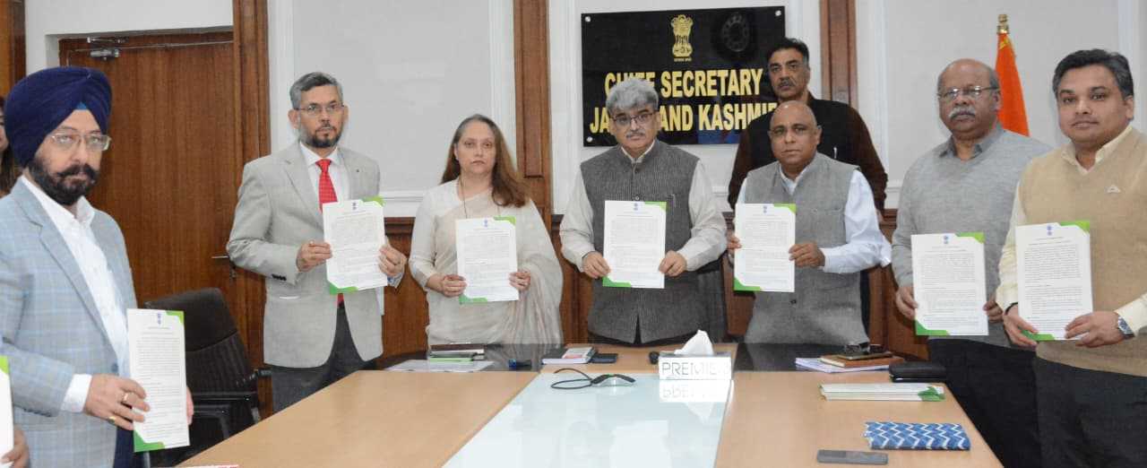
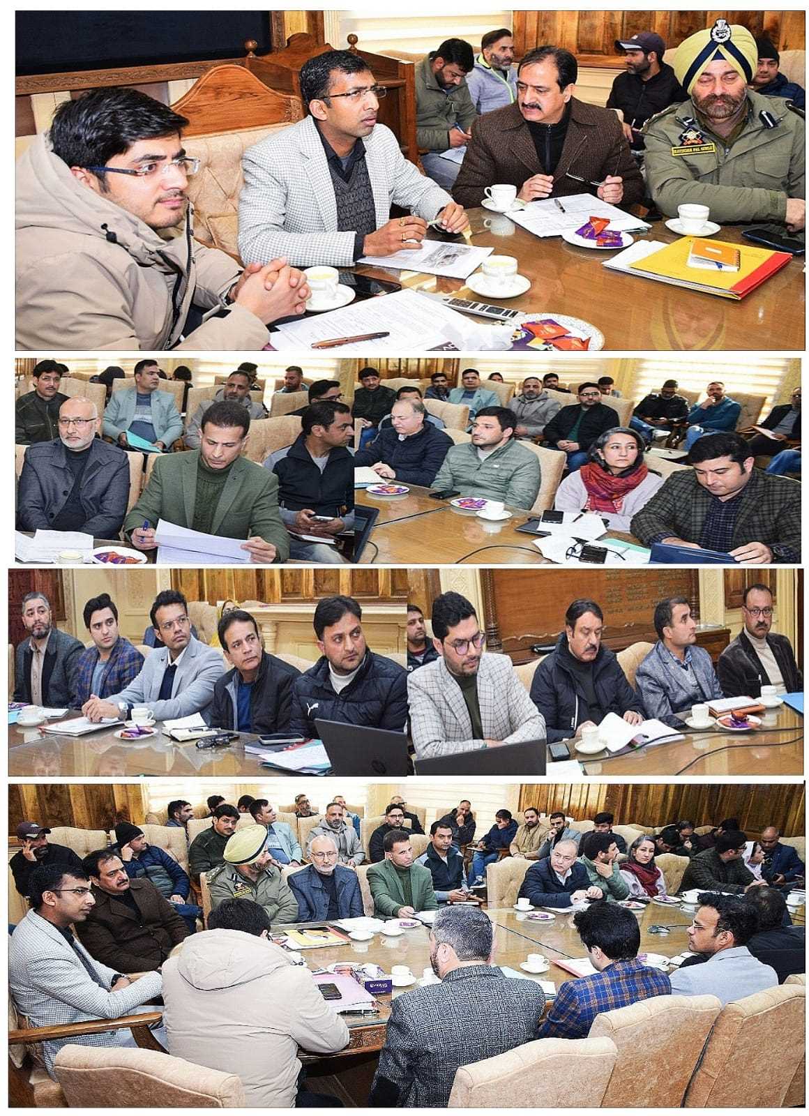
Chief Secretary Atal Dulloo today launched the Land Bank layer on the PM Gati Shakti (PMGS) portal, in the presence of Commissioner Secretary, Forests; PCCF; Secretary, IT; and other senior officials. Deputy Commissioners from all districts joined the programme via video conferencing.
This pioneering initiative, the first of its kind in the UT, identifies and geo-tags state-owned land parcels verified to be free from encumbrances, ensuring accurate and reliable data for developmental planning. Chief Secretary Dulloo called it a forward-looking exercise that will expedite project implementation and urged district authorities to protect these lands from encroachment.
The Forest and Revenue Departments conducted joint surveys and ground-truthing to validate 462 encumbrance-free parcels covering 2,406 hectares across 18 districts, including Jammu, Kathua, Kishtwar, Doda, and Udhampur. These parcels are now integrated into the PMGS portal, providing a one-stop digital platform for land availability.
Commissioner Secretary Forests Sheetal Nanda emphasized precise GIS mapping, while PCCF Suresh Kumar Gupta highlighted the rigorous verification process to avoid overlaps with forest and other restricted areas. The initiative also includes a mechanism for continuous monitoring and capacity-building sessions for district administrations.
The Land Bank Layer is expected to enhance evidence-based decision-making, inter-departmental coordination, and efficient utilization of state land, supporting key infrastructure and development projects throughout Jammu and Kashmir.