BREAKING NEWS
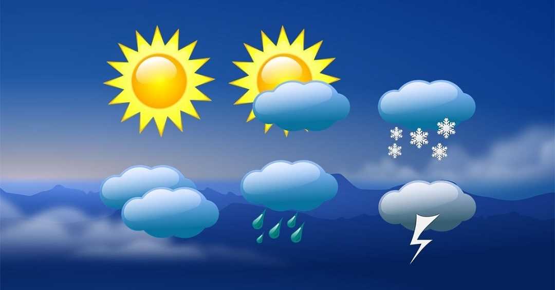
The MeT department has predicted that series of Western Disturbances (WDs) is expected to impact Jammu and Kashmir starting Wednesday night, potentially bringing light rain and snow to scattered to fairly widespread areas over the region for the next six days.
A MeT official said there is the possibility of light snow at isolated higher reaches during the night.
“A fresh spell of light rain/snow at scattered to fairly widespread places is likely to occur during the night of January 29 till the morning of January 30 and at isolated places during January 31,” he said.
The MeT official said there is a possibility of another spell of light rain and snow in scattered places on February 1 and 2 while few middle and higher reaches may receive moderate snowfall during the period.
“Another light spell of snow can’t be ruled out at scattered places on February 3,” he said.
The weather will likely remain generally cloudy on February 4 and 5 with the possibility of light rain and snow scattered to fairly widespread places, he said.
The night chill persisted in the Valley with the night temperature in Srinagar dropping to -4.3°C as against -5.5°C recorded during the previous night.
This was 3.4°C below the average for Srinagar during this period of the season.
“There is a possibility of a rise in minimum temperature by 2-4°C at many places from January 29 onwards,” a MeT official said.
Kashmir is presently in the grip of 40-day-long harshest winter period of “Chillia Kalan” . The Chilai Kalan starts on Dec 21 and ends on January 31.

© Copyright 2023 brighterkashmir.com All Rights Reserved. Quantum Technologies