BREAKING NEWS
SCold conditions to prevail in valley for 24 hrs: Met Dept
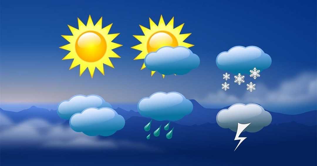
=Higher reaches of Kashmir valley experienced fresh snowfall while as plains were lashed by light rains disrupting normal activities and drop in temperature on Friday, officials said.
Meteorological office predicts widespread rains, thunderstorm with snowfall over higher reaches at most places of Jammu and Kashmir during the next 24 hours.
The weather man has also advised orchards to postpone spraying their plants in view of the weather forecast, besides urging the people to get confirmation from the concerned traffic police before taking any travel.
An active Western Disturbance is likely to cause moderate to heavy rainfall at many places in the plains of Jammu and Kashmir and a few higher regions could receive moderate to heavy snowfall with the majority of precipitation expected over the Pir Panjal Range of mountains, an independent weather observer Faizan Arif said.
He said fresh snowfall has been reported from higher reaches including Sinthan Top, Peer Ki Gali in south Kashmir and adjacent areas.
He said the daytime temperatures are expected to remain 3 to 8 degrees below normal on Saturday.
Most parts of Kashmir valley including Srinagar lashed by rains this afternoon disrupting the normal activities and drop in temperature. It was raining at many places till this report was filed, reports said.
Currently the weather is overcast at most places of Jammu and Kashmir.
Srinagar, the summer capital of Jammu and Kashmir, recorded the minimum temperature at 5.3 degree Celsius against 5.2 degree Celsius the previous night. It was 0.3 degree Celsius above normal during this period.
Qazigund on Srinagar-Jammu national highway had a low of 4.0 degree Celsius which was 0.3 degree Celsius above normal against 3.7 degree Celsius for the gateway ofKashmir.
Pahalgam in south Kashmir recorded a low of 0.6 degree Celsius against minus 0.2 degree Celsius and it was 0.2 degree Celsius above normal for the famous tourist spot in south Kashmir.
Kokernag in south Kashmir recorded a low of 4.0 degree Celsius which was 0.8 degree Celsius above normal of 3.2 degree Celsius while Kupwara had a low of minus 4.0 degree Celsius and it was 0.8 degree Celsius above normal of 3.2 degree Celsius on Friday.
Gulmarg in north Kashmir settled at 0.0 degree Celsius for the second consecutive day on Friday and it was 1.6 degree Celsius above normal for the famous ski resort, the MeT office said.
SCold conditions to prevail in valley for 24 hrs: Met Dept
=Higher reaches of Kashmir valley experienced fresh snowfall while as plains were lashed by light rains disrupting normal activities and drop in temperature on Friday, officials said.
Meteorological office predicts widespread rains, thunderstorm with snowfall over higher reaches at most places of Jammu and Kashmir during the next 24 hours.
The weather man has also advised orchards to postpone spraying their plants in view of the weather forecast, besides urging the people to get confirmation from the concerned traffic police before taking any travel.
An active Western Disturbance is likely to cause moderate to heavy rainfall at many places in the plains of Jammu and Kashmir and a few higher regions could receive moderate to heavy snowfall with the majority of precipitation expected over the Pir Panjal Range of mountains, an independent weather observer Faizan Arif said.
He said fresh snowfall has been reported from higher reaches including Sinthan Top, Peer Ki Gali in south Kashmir and adjacent areas.
He said the daytime temperatures are expected to remain 3 to 8 degrees below normal on Saturday.
Most parts of Kashmir valley including Srinagar lashed by rains this afternoon disrupting the normal activities and drop in temperature. It was raining at many places till this report was filed, reports said.
Currently the weather is overcast at most places of Jammu and Kashmir.
Srinagar, the summer capital of Jammu and Kashmir, recorded the minimum temperature at 5.3 degree Celsius against 5.2 degree Celsius the previous night. It was 0.3 degree Celsius above normal during this period.
Qazigund on Srinagar-Jammu national highway had a low of 4.0 degree Celsius which was 0.3 degree Celsius above normal against 3.7 degree Celsius for the gateway ofKashmir.
Pahalgam in south Kashmir recorded a low of 0.6 degree Celsius against minus 0.2 degree Celsius and it was 0.2 degree Celsius above normal for the famous tourist spot in south Kashmir.
Kokernag in south Kashmir recorded a low of 4.0 degree Celsius which was 0.8 degree Celsius above normal of 3.2 degree Celsius while Kupwara had a low of minus 4.0 degree Celsius and it was 0.8 degree Celsius above normal of 3.2 degree Celsius on Friday.
Gulmarg in north Kashmir settled at 0.0 degree Celsius for the second consecutive day on Friday and it was 1.6 degree Celsius above normal for the famous ski resort, the MeT office said.

© Copyright 2023 brighterkashmir.com All Rights Reserved. Quantum Technologies