BREAKING NEWS
MeT predicts light snow over higher reaches on Jan 16
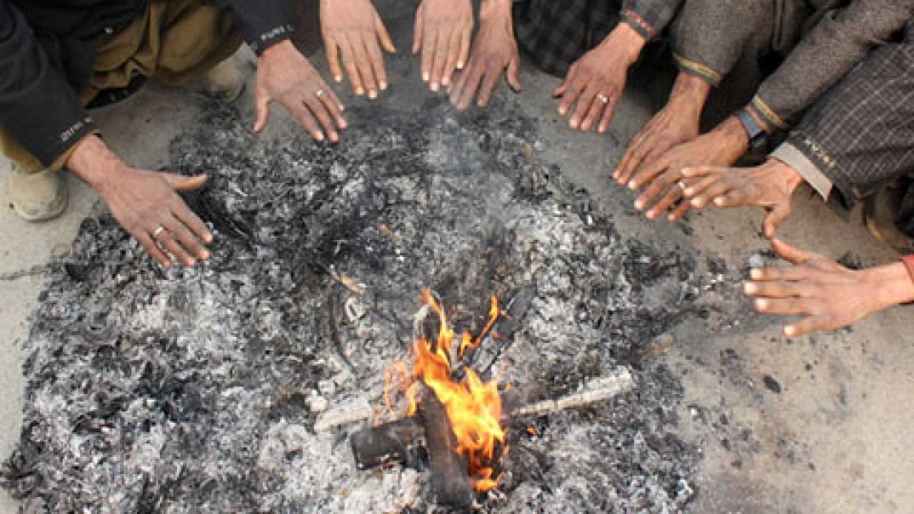
Kashmir continues to remain in the grip of a cold wave as the minimum temperatures stayed several degrees below freezing point while the Meteorological department has predicted that a weak Western Disturbance (WD) may affect Jammu and Kashmir over next 48 hours, bringing light snowfall to the higher reaches.
A MeT official said the feeble WD is likely to impact J&K between January 15 and 16 with light snowfall expected in areas such as the picturesque Sonamarg and its surrounding regions.
"The weather is expected to remain predominantly dry across the region until January 20," he said.
The official said there is a possibility of another wet spell January 20–21.
The Valley remained in grip of intense cold with night temperature in Srinagar settling at minus 4.1 degrees Celsius.
The ski resort of Gulmarg recorded a low of minus 6.2 degrees Celsius while Pahalgam in south Kashmir recorded a low of minus 7.8 degrees Celsius.
In Qazigund, the night temperature settled at minus 5.6 degrees Celsius.
Kupwara recorded a low of -4.7°C.
The MeT has advised tourists, travelers and transporters to follow advisories from administration and traffic department to avoid any inconvenience.
Kashmir is currently in the grip of ‘Chillai-Kalan’ — the harshest period of winter.
During the 40 days of ‘Chillai-Kalan’, which began on December 21, the chances of snowfall are the highest and the temperature drops considerably.
‘Chillai-Kalan’ ends on January 31 and it would be followed by a 20-day ‘Chillai-Khurd’ (small cold) and a 10-day ‘Chillai-Bachha’ (baby cold).
MeT predicts light snow over higher reaches on Jan 16
Kashmir continues to remain in the grip of a cold wave as the minimum temperatures stayed several degrees below freezing point while the Meteorological department has predicted that a weak Western Disturbance (WD) may affect Jammu and Kashmir over next 48 hours, bringing light snowfall to the higher reaches.
A MeT official said the feeble WD is likely to impact J&K between January 15 and 16 with light snowfall expected in areas such as the picturesque Sonamarg and its surrounding regions.
"The weather is expected to remain predominantly dry across the region until January 20," he said.
The official said there is a possibility of another wet spell January 20–21.
The Valley remained in grip of intense cold with night temperature in Srinagar settling at minus 4.1 degrees Celsius.
The ski resort of Gulmarg recorded a low of minus 6.2 degrees Celsius while Pahalgam in south Kashmir recorded a low of minus 7.8 degrees Celsius.
In Qazigund, the night temperature settled at minus 5.6 degrees Celsius.
Kupwara recorded a low of -4.7°C.
The MeT has advised tourists, travelers and transporters to follow advisories from administration and traffic department to avoid any inconvenience.
Kashmir is currently in the grip of ‘Chillai-Kalan’ — the harshest period of winter.
During the 40 days of ‘Chillai-Kalan’, which began on December 21, the chances of snowfall are the highest and the temperature drops considerably.
‘Chillai-Kalan’ ends on January 31 and it would be followed by a 20-day ‘Chillai-Khurd’ (small cold) and a 10-day ‘Chillai-Bachha’ (baby cold).

© Copyright 2023 brighterkashmir.com All Rights Reserved. Quantum Technologies