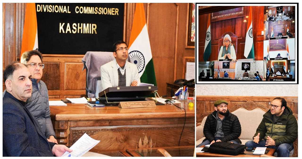
Divisional Commissioner Kashmir, Anshul Garg, on Monday directed the concerned agencies to expedite the development of inundation model for flood zoning in Kashmir especially regarding floods with a recurrence interval of once in twenty-five years.
Highlighting the significance of availability of the model, the Divisional Commissioner emphasized that it is critical for enabling the administration to undertake effective planning and response measures to minimize the impact of major floods occurring in a 25-year cycle.
He instructed the consultant engaged by the Jammu and Kashmir Economic Reconstruction Agency (JKERA) to define a clear timeline for the completion of the model, ensuring high levels of accuracy and reliability.
During the meeting, it was informed that the consultancy is presently working on a hydrological model for major floods with a recurrence interval of once in hundred years.
Meanwhile, the Divisional Commissioner directed the Irrigation and Flood Control (I&FC) Department to obtain digitized maps of Anchar Lake and Wular Lake from the Chief Conservator of Forests to facilitate the identification and delineation of river basins.
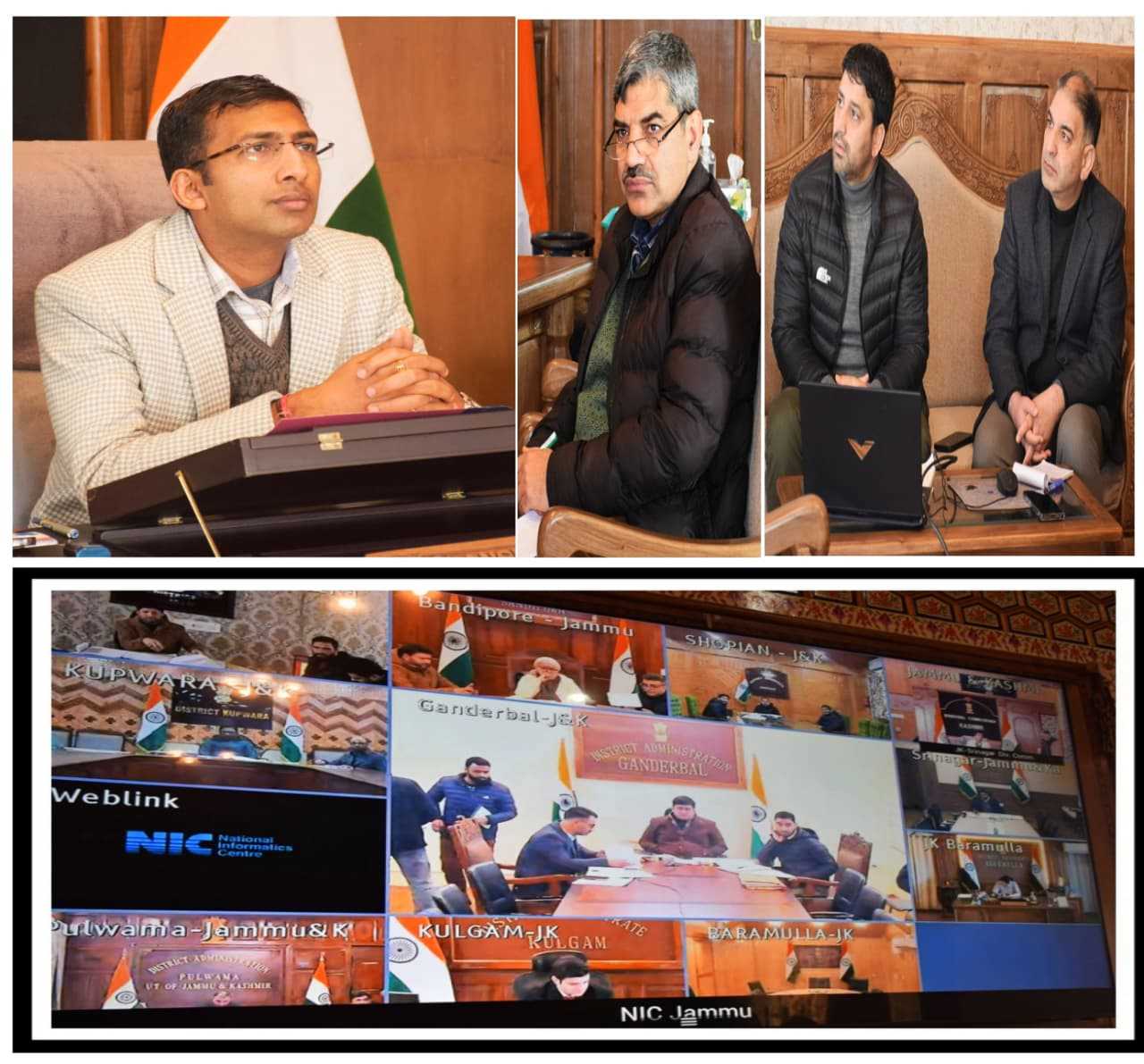
The meeting was attended by Deputy Commissioners, the Chief Executive Officer JKERA, Assistant Commissioner Central, Executive Engineers of I&FC, officers from JKWRRA and representatives from Kashmir University.